Great River Road: 9-day itinerary & map
Following the Mississippi from Minnesota to New Orleans
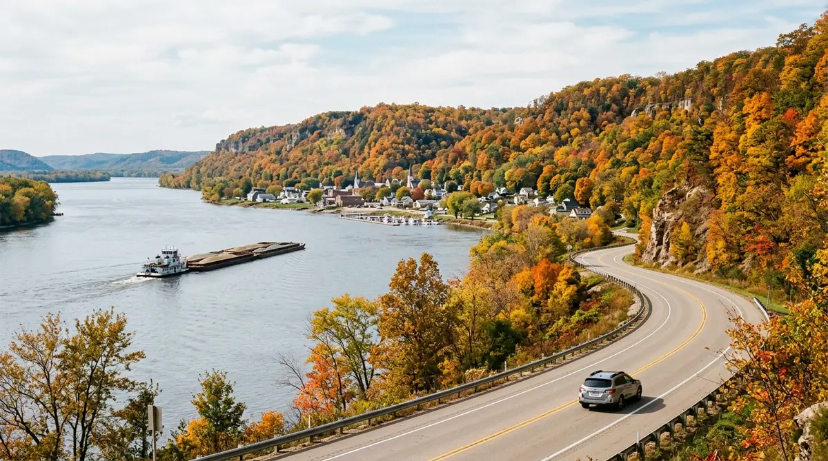
The Great River Road is a network of state and local roads, marked with a green pilot's-wheel sign, that follows the Mississippi through ten states. This condensed version runs from the headwaters to the Gulf and picks the river towns worth a night: limestone bluffs, blues clubs, antebellum river ports and Cajun kitchens.
When to go: September–October for bluff colour in the north. Spring is mild in the south.
Map loads when you scroll here…
Route line and mileage from OSRM over OpenStreetMap roads. Open this route in the planner to change the stops.
Day-by-day Great River Road itinerary
- Start
Itasca State Park
Walk across the Mississippi on the stepping stones at its headwaters.
1 night here - 219 mi · about 4 h 36 min from Itasca State Park
Minneapolis
St. Anthony Falls and the Stone Arch Bridge.
1 night here - 160 mi · about 3 h 18 min from Minneapolis
La Crosse
Wisconsin's side runs past Lake Pepin, Pepin town and Grandad Bluff.
1 night here - 119 mi · about 3 h from La Crosse
Dubuque
See Effigy Mounds National Monument and the Fenelon Place Elevator.
1 night here - 244 mi · about 4 h 48 min from Dubuque
Hannibal
Mark Twain's boyhood town and a riverboat cruise.
1 night here - 385 mi · about 7 h 6 min from Hannibal
Memphis
Pass Cape Girardeau's flood-wall murals on the way. In Memphis: Beale Street, Sun Studio and the National Civil Rights Museum.
2 nights here - 316 mi · about 5 h 54 min from Memphis
Natchez
The Mississippi Delta blues trail through Clarksdale, then Vicksburg battlefield.
1 night here - 175 mi · about 3 h 24 min from Natchez
New Orleans
Visit the River Road plantations, including the Whitney Plantation, before reaching the French Quarter.
End of the trip
Before you drive
- Follow the green pilot's-wheel signs. The official route runs on both banks in places, so choose a side per day.
- Floods sometimes close low-lying river roads in spring. Check the state DOT 511 before each leg.
- A full end-to-end drive is about 2,000+ miles, so plan at least 10 days.
Fuel for this trip
At 28 mpg and $3.50/gal, 1,618 miles costs about:
$202
Price is a placeholder. Enter what you're seeing locally. Full gas cost calculator
Great River Road FAQ
How long does the Great River Road road trip take?
This itinerary takes 9 days and covers about 1,618 miles, or roughly 32 hours of driving without traffic or stops. You can drive it faster, but the nights listed leave time for the sights.
When is the best time for a Great River Road road trip?
September–October for bluff colour in the north. Spring is mild in the south. Check official road status before you go.
What is the longest driving day?
Hannibal to Memphis: about 385 miles, or 7 h 6 min of driving before stops. Leave early that day.
Where should I stay overnight?
The overnight bases in this plan are Itasca State Park, Minneapolis, La Crosse, Dubuque, Hannibal, Memphis, Natchez.