Pacific Coast Highway Road Trip: 7-day itinerary & map
California coast, San Francisco to Los Angeles
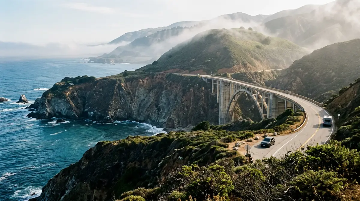
Highway 1 hugs the California coast for most of the way from San Francisco to Los Angeles. The famous stretch is Big Sur: about 90 miles with almost no towns, one road in and out, and cliffs dropping straight into the Pacific. Drive it north to south and the ocean sits on your side of the car, next to the pull-outs.
When to go: April–May and September–October, when inland heat and summer fog both ease.
Map loads when you scroll here…
Route line and mileage from OSRM over OpenStreetMap roads. Open this route in the planner to change the stops.
Day-by-day Pacific Coast Highway itinerary
- Start
San Francisco
Pick up the car and cross the Golden Gate for the view back at the city before you head south.
1 night here - 76 mi · about 1 h 42 min from San Francisco
Santa Cruz
The route to Santa Cruz runs past Half Moon Bay and Pescadero's pale coastal bluffs. Evenings bring the boardwalk and the surfers at Steamer Lane.
1 night here - 46 mi · about 1 h from Santa Cruz
Carmel-by-the-Sea
Go through Monterey for the aquarium and Cannery Row, then take 17-Mile Drive (a toll road) into Carmel.
1 night here - 26 mi · about 42 min from Carmel-by-the-Sea
Big Sur
Bixby Bridge, Point Sur and Pfeiffer Beach sit on this stretch. Drive it slowly: most of the good views come at unmarked pull-outs.
1 night here - 74 mi · about 1 h 42 min from Big Sur
Cambria
Heading south you pass McWay Falls, the Piedras Blancas elephant seal rookery and Hearst Castle, which needs a timed ticket.
1 night here - 127 mi · about 2 h 42 min from Cambria
Santa Barbara
Pass through Pismo Beach and the Solvang wine country, then spend the evening on Santa Barbara's State Street and Stearns Wharf.
1 night here - 92 mi · about 1 h 54 min from Santa Barbara
Santa Monica
Finish past Malibu's beaches and end at the Santa Monica Pier, which is also the end of Route 66.
End of the trip
Before you drive
- Big Sur has long gaps without fuel or signal. Fill up in Carmel or Cambria and download offline maps first.
- Landslides close sections of Highway 1 through Big Sur from time to time. Check Caltrans QuickMap the morning you drive.
- Lodging in Big Sur is limited and books out months ahead in summer.
Fuel for this trip
At 28 mpg and $3.50/gal, 441 miles costs about:
$55
Price is a placeholder. Enter what you're seeing locally. Full gas cost calculator
Pacific Coast Highway FAQ
How long does the Pacific Coast Highway road trip take?
This itinerary takes 7 days and covers about 441 miles, or roughly 10 hours of driving without traffic or stops. You can drive it faster, but the nights listed leave time for the sights.
When is the best time for a Pacific Coast Highway road trip?
April–May and September–October, when inland heat and summer fog both ease. Check official road status before you go.
What is the longest driving day?
Cambria to Santa Barbara: about 127 miles, or 2 h 42 min of driving before stops. Leave early that day.
Where should I stay overnight?
The overnight bases in this plan are San Francisco, Santa Cruz, Carmel-by-the-Sea, Big Sur, Cambria, Santa Barbara.